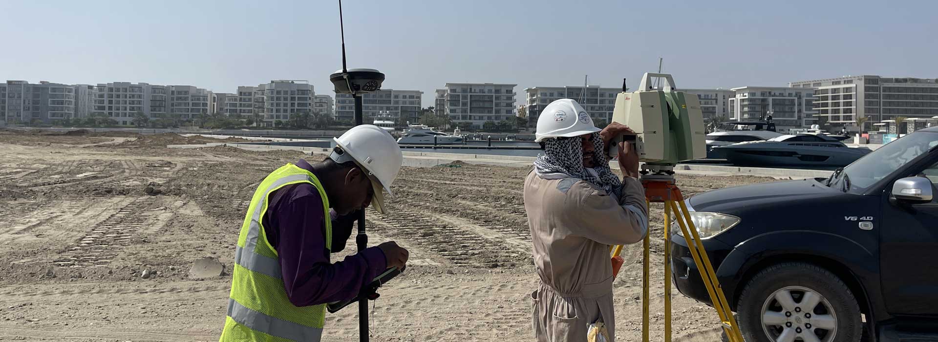
ABOUT GEOMATICS LLC
Geomatics LLC was established in 2019 to offer you the unique opportunity to experience all of your land surveying needs from a single company by implementing a team of seasoned top score professional experts and one of most advanced and accurate technological instruments like UAV/Drone , 3D LiDAR Scanner ,GPS, Total Station ,Auto level and GPR etc.. Read more
Geomatics LLC provide professional aerial solutions using the latest in drone technology aerial platform.
Geomatics LLC provide imagery that can be incorporated into GIS and mapping programs to assist with project planning and management.
Read more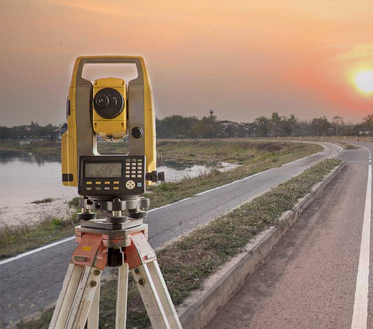
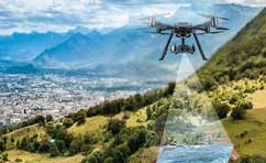
UAV/Drone Survey
We can provide high resolution aerial photographs over any area using our drone. It is possible to travel...
View details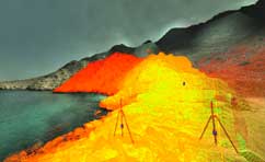
LiDAR Scanning Survey
LiDAR is a unique remote sensing technology that has taken the surveying industry by storm...
View details
Dilapidation Survey
A dilapidation survey done by a Professional Building Surveyor is an inspection of the existing...
View details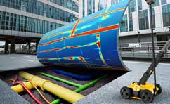
Utility Survey
The term Utility survey refers to the location, positioning and identification of buried pipes...
View details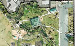
Topographical Survey
The topographic survey is one of the key components of the design process for a site...
View details